FERNANDINA'S
HISTORY. The area now known as Old Town was originally
settled by Timucua Indians, who probably chose it because of its high and dry
location along the Amelia
River
and its fertile soil. Later, the Spanish and British recognized these
attributes as well as its proximity to the developing United States, its
defensible position in the western Atlantic, and because it was close to the
gold route from South America to Spain. Old
Town was platted by the Spanish in 1811 - the
last town platted to the Laws of the Indies
in the Western hemisphere. (Also Law of the Indies
1573 revision). Other US cities platted to the Laws of the Indies
include (in alphabetical order) Albuquerque, NM; Laredo, TX; Santa Fe, NM; and
Tucson, AZ.
The
original grid - encompassing some 26 blocks - remains to this day, although
some has been lost to erosion by the river and other by the routing of the 14th
Street extension through it. Included in the original plat was the Plaza de la
Constitution (Plaza San Carlos) which occupies a full block of green space
overlooking the Amelia
River and is now
administered by nearby Fort
Clinch State Park; two blocks are included in the historic Bosque
Bello Cemetery.
Old
Town is listed on the National Register
of Historic Places.
The
street names in Old
Town are a
refreshing change from the Mains and Broads of other
cities; they reflect what was important to people living here in 1811-1821.
The
area has borne various names under the eight flags which have ruled Amelia
Island. The English named it Egmont
City, and the name Fernandina was provided by
the Spanish Governor Enrique White who wanted King Ferdinand to set up a "court
in exile" here when Spain was invaded by Napoleon. He changed the name as an
added, but unsuccessful, incentive! Subsequently, Fernandina's residents moved
to what is now called Fernandina Beach
because the railroad sponsored by Sen. David Yulee could only make it to Center
Street : it could not cross the salt-marsh to Old
Town. Old Town
is the place where the name Fernandina was first used. Take a look at John Paul
Jones' article Festive, Fabulous Fernandina Beach for
a readable history.
The
design that Surveyor George J. F. Clarke (1774-1836) laid down in his 1811 plat
is still visible today. Blocks vary in size and consist of eight or ten of the
Spanish lots called a peónia (pay-oh-NEE-a). A
peónia is 17 varas (46.5
feet) by 34 varas (93 feet) or 4,325 square feet.
This was the amount of land that a Spanish foot soldier (a peón)
would have received in exchange for his part in the conquest. The 'long' side
of the peónia runs North-South; on the East and West
of each block, peónias are divided in half and are
called 'media peónias'. Old
Town today contains about 23 blocks
incorporating 146 total buildable lots. A map showing the Old
Town Plat is available here. Although the Plat gives Lot Numbers to the
media peónias as well as to the full peónias, these media peónias are
not themselves buildable lots. However, the combination of two adjacent media peónias does provide the equivalent of a full peónia, and is buildable. Commissioned by the City of Fernandina
Beach, the University
of Florida
prepared the Old Town
Guidelines to be applied to the development of Old
Town. The Land Development Code preserves Old
Town's historic
grid and defines the requirements to be met for property constructed in Old
Town.
Currently
Old Town is
undergoing a renaissance. After many years of being overlooked, the area is now
recognized as a prime location for people who want to maintain a unique
lifestyle within walking distance of their neighbors in a diverse community.
Opinions abound as to the building styles to adopt, but all residents agree on
the need to establish quality designs and construction and to preserve the
unique feeling of community that exists here. Here are some examples of our Old Town architecture old and new.
+++++++++++++++++++++++++++++++++++++++++++++++++++++++++++++++++++++++++++++++++++++++++++++++++++++++++++++
Recent
improvements in Old Town
include:
- With help from WestRock, the gate across Estrada Street south of
Garden Street has been removed, and this section of street has been
returned to public use.
- The City has delineated the
boundary of the Plaza with muhly grass and corner markers. They have also
installed a parking/turn-around area at the river end of White Street.
Future
plans include:
3. Conversion
of the newly reopened section of Estrada Street to a City pocket park, with
services to support:
*
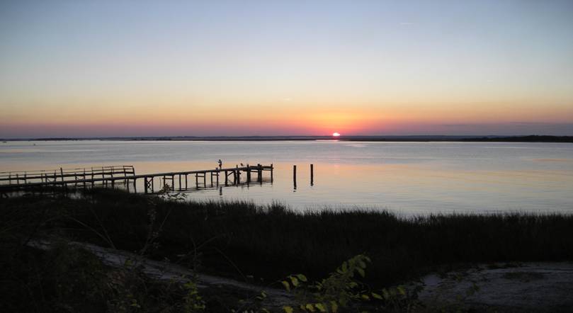
An ADA accessible sunset viewing deck and a
kayak launching place at the river at Garden Street.
*
A Trail head for a new river walk through Old
Town to the North End Boat Ramp.
4. Creating
a river walk along as much of Marine Street as is open, particularly from White
Street to San Fernando Street.
+++++++++++++++++++++++++++++++++++++++++++++++++++++++++++++++++++++++++++++++++++++++++++++++++++++++++++++
George
Clarke's dates were obtained from '"A class of people neither freemen nor
slaves": from Spanish to American race relations in Florida, 1821-1861' by
Daniel L. Schafer (1993), available at The
Free Library
This
Website is dedicated to providing information and links to resources that will
help people embrace the Old Town
spirit. It is privately funded, and receives no monies from the local,
state, or federal government. Please send any suggestions, comments, and
requests for additions or inclusions to Old Town Fernandina Website.
Last
updated: July 18, 2021